
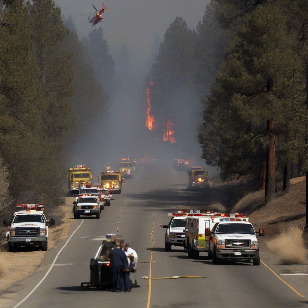
Emergency management authorities are currently coordinating responses to the Gann Fire, which has necessitated immediate evacuation orders for residents within the Sierra foothills region. According to Wildfire News, the incident has prompted localized mapping efforts to track the blaze's progression and define mandatory displacement zones for public safety.
Incident Overview
The situation remains active as fire suppression teams monitor the impact of the Gann Fire on nearby communities. Official response agencies have utilized geographic data to communicate exclusion zones. Residents in the impacted areas are encouraged to monitor local emergency alerts for the latest updates regarding containment progress and potential changes to evacuation status.
| Feature | Status | Requirement |
|---|---|---|
| Fire Name | Gann Fire | N/A |
| Region | Sierra Foothills | Evacuation in Effect |
| Incident Status | Active | Monitoring Required |
Official Context and Regulatory Oversight
Local wildfire incidents are typically managed under the jurisdiction of regional fire agencies and county emergency services. Regulatory bodies monitor these events to assess the requirement for resource deployment from both state and federal agencies. Public safety directives are issued based on real-time fire behavior modeling and terrain analysis, which determine the extent of evacuation perimeters.
Why It Matters
The increasing frequency of wildfire activity in the Sierra foothills highlights a growing challenge for infrastructure resilience and regional disaster management. As development continues in the wildland-urban interface, the strain on emergency response services grows proportionately. Beyond the immediate property damage, these events create significant long-term volatility for local insurance markets and utility grid stability. The economic impact of recurring evacuations often disrupts local supply chains and increases the overhead for regional public safety agencies, requiring a shift toward more adaptive fire mitigation strategies in high-risk zones.
Reader Discussion & Insights