
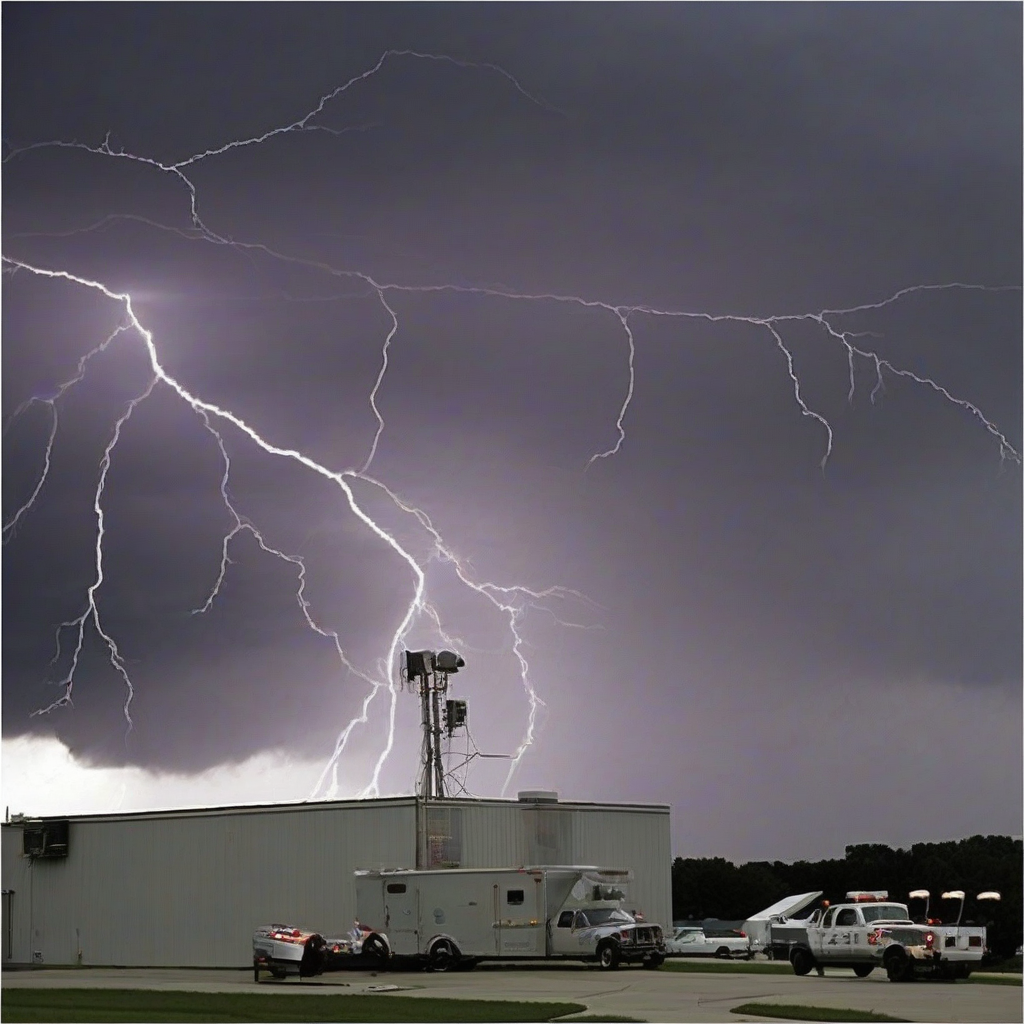

Operations at the National Weather Service (NWS) office serving the Kansas City area have been impacted following a lightning strike that disabled critical radar infrastructure. The facility's primary equipment, essential for tracking localized storm systems and precipitation, ceased functioning after the strike, according to NOAA.
Technicians are currently assessing the extent of the hardware damage caused by the electrical surge. While the exact duration of the outage remains under evaluation, the loss of radar coverage creates a temporary gap in high-resolution monitoring for the region. The NWS is standardizing data collection through adjacent radar sites and satellite imagery to maintain oversight of regional weather patterns during this period.
Impact Overview
| Facility Location | Status | Primary Issue |
|---|---|---|
| Kansas City (NWS) | Inoperable | Lightning Strike Damage |
Technical staff are working to calibrate systems once physical repairs to the electronic components are completed. NOAA indicates that the restoration of services is a priority, given the radar's role in public safety and early warning communications for residents and local aviation authorities.
Why It Matters
Modern meteorological observation relies on a tightly integrated grid of terrestrial radar stations. When a single node—such as the Kansas City unit—goes offline, it forces meteorologists to rely on lower-resolution data from more distant stations. This creates a significant blind spot, particularly for low-level wind shear and tight-gradient precipitation events that are difficult to detect from long range. For the aviation and logistics sectors, this lack of localized accuracy can lead to inefficient flight routing and increased uncertainty in scheduling, highlighting the systemic vulnerabilities inherent in aging weather infrastructure that lacks sufficient secondary redundancies.
Reader Discussion & Insights