
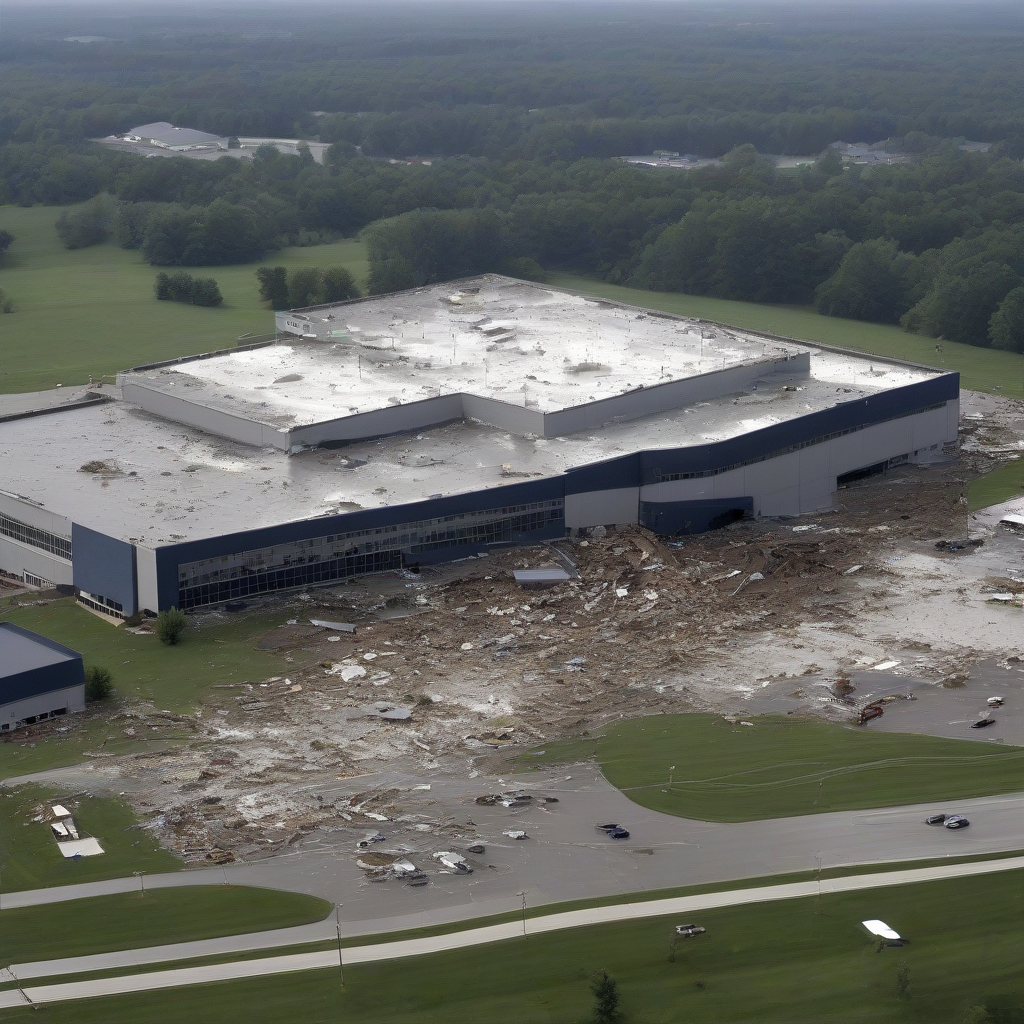
Meteorologists from the National Weather Service (NWS) have officially confirmed that an EF-2 tornado impacted Somerset County during severe storms occurring on July 18. According to NWS Alerts, the assessment follows a detailed survey of the path and intensity of the weather system that moved through the region.
Tornado Classification Data
| Attribute | Detail |
|---|---|
| Event Date | July 18 |
| Location | Somerset County |
| Fujita Scale Rating | EF-2 |
| Primary Source | NWS Alerts |
Official surveyors utilized wind damage patterns to determine the classification of the event. The EF-2 rating on the Enhanced Fujita scale indicates wind speeds typically ranging between 111 and 135 mph. This level of intensity is capable of causing significant structural damage to well-constructed homes, uprooting trees, and causing major destruction to outbuildings.
Official Reporting and Context
Data regarding the storm system was corroborated by local observations and NWS site visits to the affected areas. While the specific path and localized impact coordinates are still being archived by regional offices, the identification of the storm as an EF-2 represents a high-impact weather occurrence for this district. Property owners and municipal officials rely on these official NWS findings to determine eligibility for recovery resources and insurance adjustments.
Why It Matters
The formal identification of an EF-2 tornado has significant implications for local infrastructure planning and risk management. Beyond the immediate cleanup, data from such events is integrated into regional hazard mitigation plans. Insurance providers utilize these official NWS classifications to calibrate risk assessments for local property, which can directly affect future premium adjustments. Furthermore, this event highlights the increasing volatility of seasonal storms, necessitating that local governments review their emergency alert systems and building code enforcement to better withstand wind-related damage in subsequent climate cycles.
Reader Discussion & Insights